62°6'0" N
42°10'60" W
~116m asl
01:39 (WGST - UTC/GMT--2)
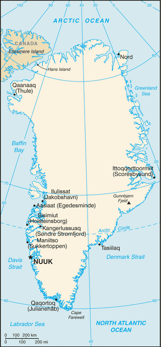
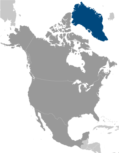
Otto Rud Oer (Otto Rud Øer) is a islands (class T - Hypsographic) in Kujalleq (Østgrønland), Greenland [ Denmark ] (North America) with the region font code of Americas/Western Europe. It is located at an elevation of 116 meters above sea level.
Otto Rud Øer is also known as Kekertarsuak, Kekertatsuak, Kekertursuak, Otto Rud Oer, Otto Rud Øer, Ruds Island, Ruds O, Ruds Ö.
Its coordinates are 62°6'0" N and 42°10'60" W in DMS (Degrees Minutes Seconds) or 62.1 and -42.1833 (in decimal degrees). Its UTM position is PJ48 and its Joint Operation Graphics reference is NP23-06.
Current local time is 01:39; the sun rises at 07:53 and sets at 20:00 local time (America/Godthab UTC/GMT-2). The standard time zone for Otto Rud Oer is UTC/GMT-3, but since Daylight Saving Time (DST) is in effect the current time zone is UTC/GMT-2.
In 2024 DST starts on 31 Mar 2024 and ends on 27 Oct 2024.
A Islands is tracts of land, smaller than a continent, surrounded by water at high water.
|
Advertisements:
Advertisements:
|
Weather Otto Rud Øer (Cloud cover, Temperature, Wind speed and Precipitation mm probab.)
Sun
Apr 28
~8 l/m2 71%
3-8 cm (Snow)
-1 °C min
1 °C max
41 km/h
Thu Jan 1
|
Mon
Apr 29
-7 °C min
1 °C max
17 km/h
Thu Jan 1
|
Tue
Apr 30
-5 °C min
2 °C max
9 km/h
Thu Jan 1
|
Wed
May 1
-3 °C min
2 °C max
14 km/h
Thu Jan 1
|
Thu
May 2
-7 °C min
1 °C max
15 km/h
Thu Jan 1
|
Fri
May 3
-8 °C min
1 °C max
16 km/h
Thu Jan 1
|
|
|
Otto Rud Oer (Kujalleq) 7 day forecast
Map and Photos Otto Rud Oer
--- There are no comments yet ---
Add a new comment:
|
Members area
Greenland [ Denmark ] (Denmark):
Advertisement
GPS points near Otto Rud Øer
GPS points from Greenland [ Denmark ] (Denmark)
|
 Ingeqqajarpik (11 km)